VICAL Guide: VEGETATION INDICES CALCULATOR
2022-11-04
Welcome
This site is a guide to use the VICAL tool developed within Google Earth Engine (GEE). VICAL calculates online 23 vegetation indices (commonly used in agricultural applications) of any polygon(s) in the world (digitized by the user or vector file) using LandSat and Sentinel-2 images. This is done without the user downloading/uploading satellite images of writing a single line of code, they just need to have an internet connection.
A web application is also available https://inifapcenidraspa.users.earthengine.app/view/vical.
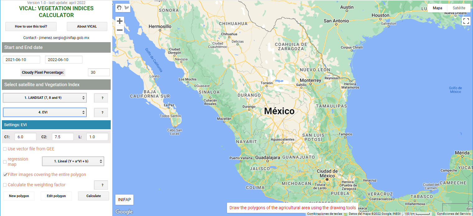
Figure 0.1: Vista principal de VICAL
This work was developed by researchers from INIFAP CENID-RASPA and CEVAF. Among the improvements planned for VICAL is that are intended for VICAL is that through experimentation the calibration of biophysical variables of interest for various crops is achieved using vegetation indices (IV); and these results are available in VICAL to be useful to other people and thus they can easily monitor variables related to irrigation engineering.
Please check back occasionally for new GEE applications, example scripts, and VICAL updates. You might try doing a hard refresh on the site to make sure you see recent changes (what you’re looking at might be a previously cached version of the site)
If you have any questions or suggestions or wish to participate in the project, you can write to the email jimenez.sergio@inifap.gob.mx